3D city models to simulate the spreading of electromagnetic waves in urban areas, and thus accurately plan the deployment of telecommunications (mobile telephony, wifi) wireless networks.
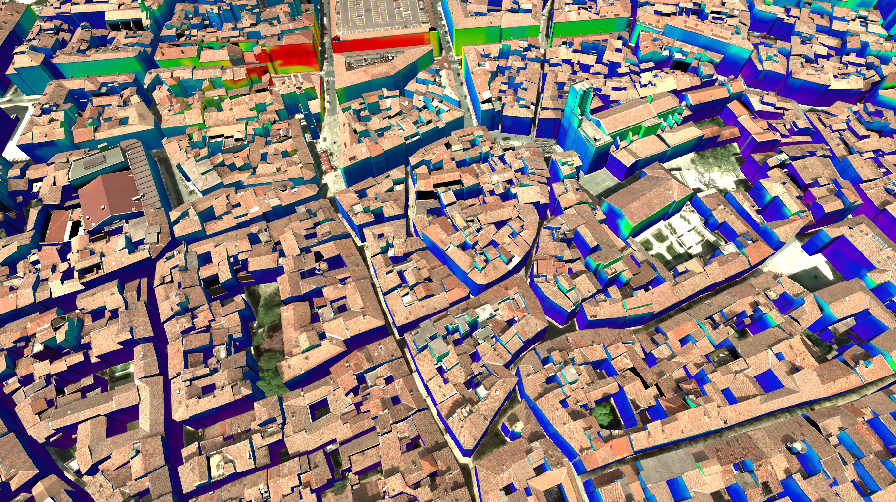
Electromagnetic field exposure in Nîmes – source: Siradel
Based on geostatistical data (ex: use of transport, data of consumption) and demographic (ex: number and average age of the residents and workers of the district), the hotspots for the use of these networks can be predicted, to optimize the coverage of the networks.
In parallel, the exposure of populations to these electromagnetic waves can be objectively calculated in all urban areas, outside as well as inside buildings. So, some base stations can be moved, in order to minimize electromagnetic pollution near the most vulnerable places (crèches, schools etc.).
Prerequisite: Model city LoD1 3D, positioning of base stations.
Initiatives & links
Siradel company
- Exposure of the population to the airwaves radio and recommendation of positioning of base stations (case study, paper)
- Advanced model of propagation of radio waves
Brussels environment
- Atlas environment: 3D Simulation of the electromagnetic field (webgis)